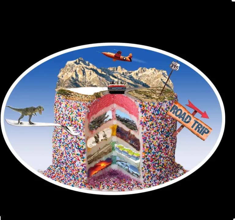
HistoryCake Driving Tour - Highway 14 and the 395 - Welcome and Overview
An audio tour that plays itself. Each story starts as you drive past the place it happened.
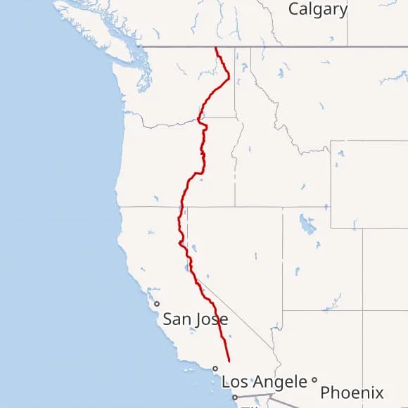
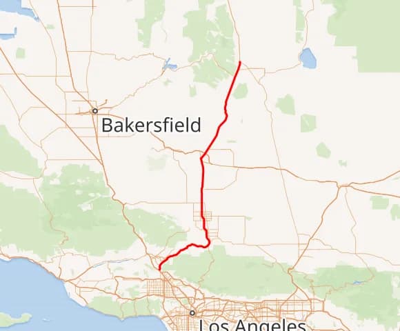
Highway 395 runs north south through the eastern side of California above the Cajon Pass. Highway 14 runs from the San Fernando Pass through Mojave to join the 395 just west of RidgeCrest. Today we will journey through the past of the land around you and the hooves and footprints of those before you. Welcome to HistoryCake!
On the ground
How a tour plays
Download before you go
Get the app, pick this tour, and download it. Everything works offline after that.
Drive or walk the route
Follow the route with your phone in your pocket. Nothing to tap.
Stories start on their own
Each one begins the moment you reach the place it's about.
Researched & written by
Marc Striegel
About this tour
Behind this route
No matter where you start your journey up the road or across the state via these eastern roadways, you cannot escape the past. The desert and mountains have both a timelessness to them even though they are ever changing. For most of us, they create wonder and ignite a fire of curiosity and questions. Please sit back, enjoy this journey as much as your destination and let's time travel back to the time of bandits and lawmen and ranchers and argonauts and native americans and giant ground sloths and ice ages and before. You take care of the road and we take care of the rest, starting now and paused at stopped at any time by selecting the cog wheel lower middle right and clicking stop tour.
Now, before the gold seekers and those who grew crops and supplied the miners came in 1849, the land was mostly inhabited by native american tribes from the Mojaves to the Pauite Shoshone. Their combined history contains the past of the eastern side of the Sierra Nevadas and the ebb and flow of product and people across a well trodden path to its sprawling and ravenous neighbor, Los Angeles, to the south.
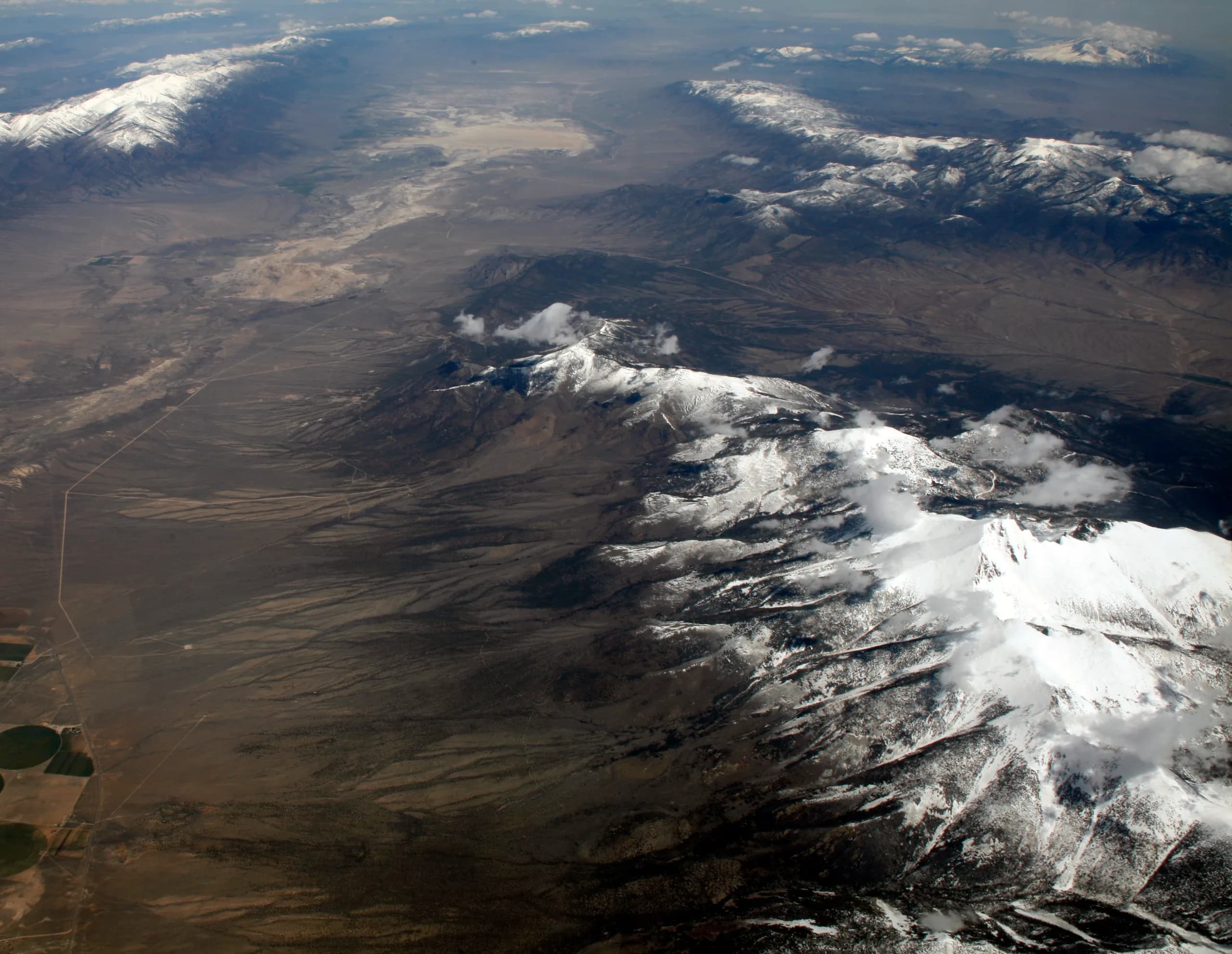
California is a large and varied state from any perspective but perhaps terrain speaks loudest on the eastern side of the sierra nevada range. The 395 near Lone Pine bisects the highest point in the lower 48 United States in Mount Whitney and the lowest point in Death Valley at Badwater with close to three vertical miles separating them and 85 as the crow flies.
As most highways do, these follow the footpaths of the first human inhabitants, around 10,000 years ago. The Paiute Shoshone and Mohave natives navigated the great valley and mountains on either side of it and traversed the often harsh desert to the south as the seasons and trade with other tribes invited.
The spaniards and californio families had a pastoral life of cattle raising and farming on the western part of what would become California and did not inhabit the owens valley. The great influx of men from all over the globe after the discovery of gold in 1848 saw the first real volumes of non-natives traversing the valley on their way to eldorado on the western side of the sierras. Most moved right on through
Geology,
flora and fauna history to present,
mines and mineral extraction through decades,
outlaws and lawmen and crime
settlers and their towns
agriculture then and now
The route
See how the route unfolds
Numbered stops show the listening order. Off-path points of interest are marked separately.
What you'll hear along the way
Out now
Go walk it.
Download the free History Cake app, open this tour, and each story plays itself as you reach the spot.