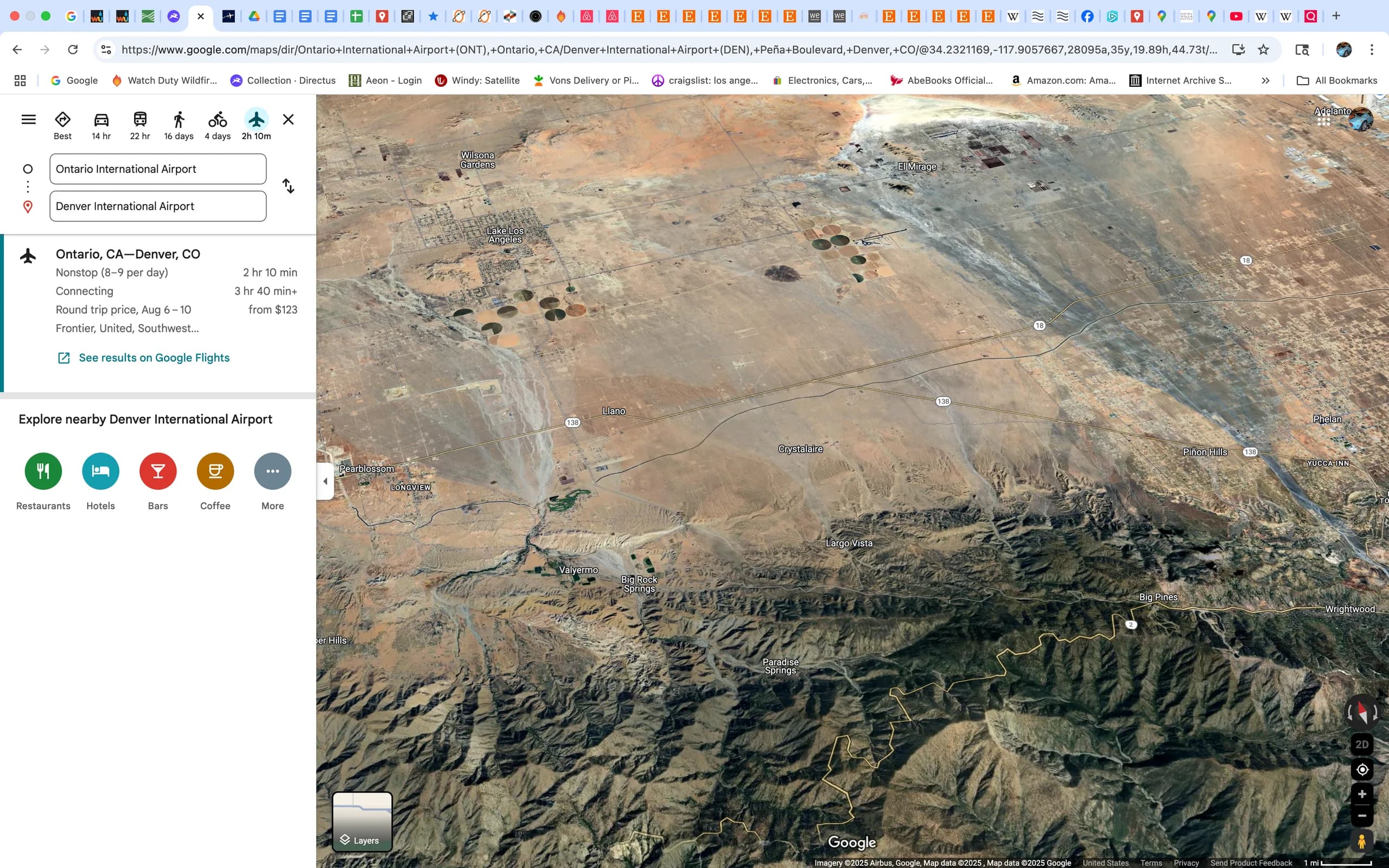
 Back to AeroCake ONT to DEN
Ontario, the San Gabriel Mountains and the Cajon Pass
This is for the first ten minutes of the flight.
In the app, this story plays on its own as you reach this spot. This page is the preview.
See the full tourThe story
Ontario, the San Gabriel Mountains and the Cajon Pass
Much of the range features rolling peaks. The range lacks craggy features, but contains a large number of canyons and is generally very rugged and difficult to traverse. The San Gabriel Mountains are composed of a large fault block between the San Andreas Fault Zone to the north, and the San Gabriel Fault and the Sierra Madre-Cucamonga Fault Zones to the south.[4][5] This tectonic block was uplifted during the Miocene and has since been dissected by numerous rivers and washes.[6][7]
Setting and elevation
The highest elevation, Mount San Antonio (Mount Baldy) at 10,069 feet (3,069 m),[8] rises towards the eastern extremity of the range which extends from the Cajon Pass (Interstate 15) on the east, where the San Gabriel Mountain Range meets the San Bernardino Mountain Range, westward to meet the Santa Susana Mountains at Newhall Pass (Interstate 5).
South and east of Santa Clarita and north of San Fernando, the San Gabriel Mountains crest abruptly up to about 4,000 feet (1,200 m). Pacoima and Big Tujunga Canyons cut through the range just east of San Fernando, carrying runoff into the San Fernando Valley. Little Tujunga Canyon Road bridges the range in this area, connecting the San Fernando Valley to the Santa Clara River valley in the north. Towering over Big Tujunga Canyon north of Big Tujunga Reservoir, and south of Acton, is Mount Gleason, which at 6,502 feet (1,982 m), is the highest in this region of the San Gabriels. South of the gorge is the southern "foothills" of the mountains, which rise abruptly 4,000 feet (1,200 m) above the Los Angeles Basin and give rise to the Arroyo Seco, a tributary of the Los Angeles River.
Southeast of Big Tujunga Canyon, the southern front range of the San Gabriels gradually grows in elevation, culminating in notable peaks such as Mount Wilson at 5,710 feet (1,740 m). On the north the range is abruptly dissected by the canyon of the West Fork San Gabriel River. Even further north the range slopes up into the towering main crest of the San Gabriels, a sweeping arc-shaped massif 30 miles (48 km) in length that includes most of the highest peaks in the range: Waterman Mountain, at 8,038 feet (2,450 m); Mount Islip, at 8,250 feet (2,510 m), Mount Baden-Powell, at 9,399 feet (2,865 m), Pine Mountain, at 9,648 feet (2,941 m), and Mount San Antonio, the highest peak in the range at 10,068 feet (3,069 m).
On the north slopes of the San Gabriel crest, the northern ranks of mountains drop down incrementally to the floor of the Mojave Desert in a much more gradual manner than the sheer southern flank. The Angeles Crest Highway, one of the main routes across the San Gabriels, runs through this area from west to east. Little Rock, Big Rock, and Sheep Creeks drain off the northern part of the mountains, forming large alluvial fans as they descend into the Mojave. To the east, the San Andreas Fault cuts across the range, forming a series of long, straight, and narrow depressions, including Swarthout Valley and Lone Pine Canyon. South of Mount San Antonio, San Antonio Creek drains the mountains, cutting the deep San Antonio Canyon.
East Fork San Gabriel River canyon, looking west East of San Antonio Canyon, the range gradually loses elevation, and the highest peaks in this section of the mountain range are in the south, rising dramatically above the cities of Claremont, Upland and Rancho Cucamonga. However, there are still several notable peaks in this region, including Telegraph Peak, at 8,985 feet (2,739 m), Cucamonga Peak, at 8,859 feet (2,700 m), and Ontario Peak, rising 8,693 feet (2,650 m). Lytle Creek, flowing generally southeast, drains most of the extreme eastern San Gabriels. The range terminates at Cajon Pass, through which runs Interstate 15, and beyond which rise the even higher San Bernardino Mountains.
On the route
Where it sits
In the app, this stop triggers as you arrive.
Out now
Hear it where it happened.
Get the free app, stand where this happened, and the story starts on its own.