Back to Collections
HistoryCake Driving Tour - Hwy 14-395 - Introduction and Overview
California Highway 395 roughly runs north south through the eastern side of California above the Cajon Pass. Highway 14 runs from the San Fernando Valley through Mojave to join it west of RidgeCrest. It has long been a path from Los Angeles to the Owens Valley and Lake Tahoe and Carson City and Reno. Before the gold seekers and those who grew crops and supplied the miners came in 1849, the land was mostly inhabited by native american tribes from the Mojaves to the Pauite Shoshone. Their combined history contains the past of the eastern side of the Sierra Nevadas and the ebb and flow of product and people across a well trodden path to its sprawling and ravenous neighbor, Los Angeles, to the south.
37 stories447.1 km/ 277.8 mi11h 7mestimateddriving tourFree
California is a large and varied state from any perspective but perhaps terrain speaks loudest on the eastern side of the sierra nevada range. The 395 near Lone Pine bisects the highest point in the lower 48 United States in Mount Whitney and the lowest point in Death Valley at Badwater with close to three vertical miles separating them and 85 as the crow flies.
As most highways do, these follow the footpaths of the first human inhabitants, around 10,000 years ago. The Paiute Shoshone and Mohave natives navigated the great valley and mountains on either side of it and traversed the often harsh desert to the south as the seasons and trade with other tribes invited.
The spaniards and californio families had a pastoral life of cattle raising and farming on the western part of what would become California and did not inhabit the owens valley. The great influx of men from all over the globe after the discovery of gold in 1848 saw the first real volumes of non-natives traversing the valley on their way to eldorado on the western side of the sierras. Most moved right on through
Geology,
flora and fauna history to present,
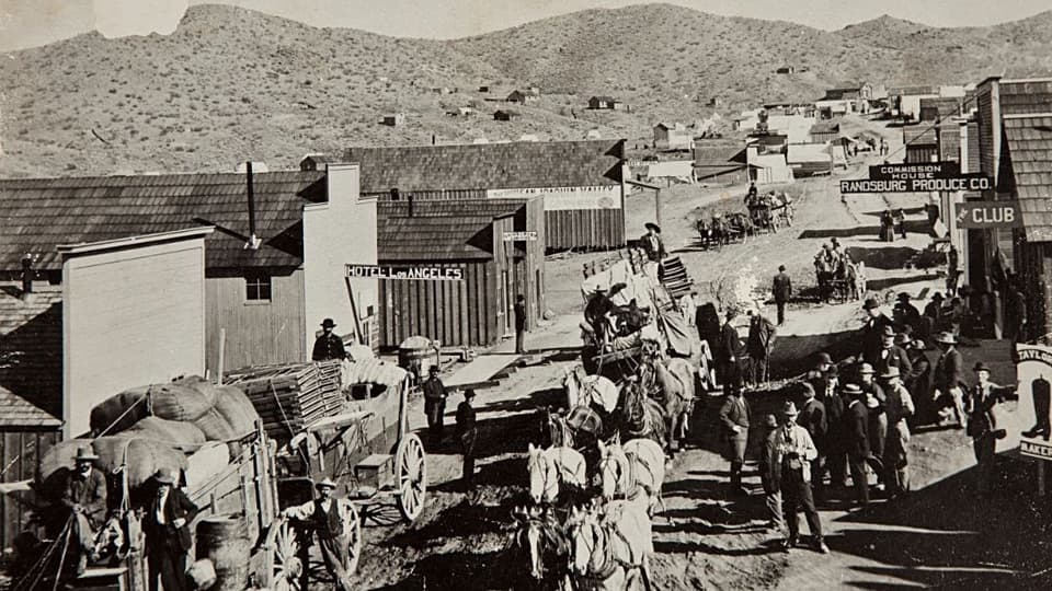
mines and mineral extraction through decades,
outlaws and lawmen and crime
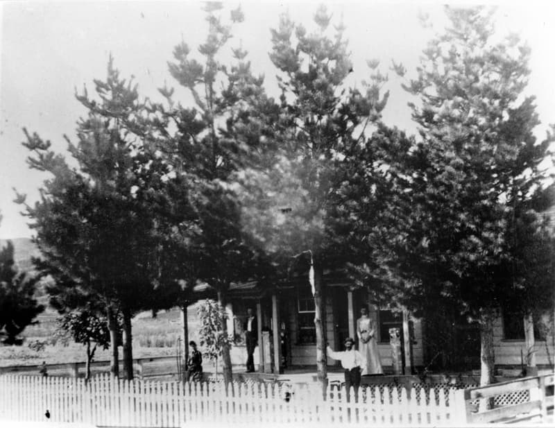
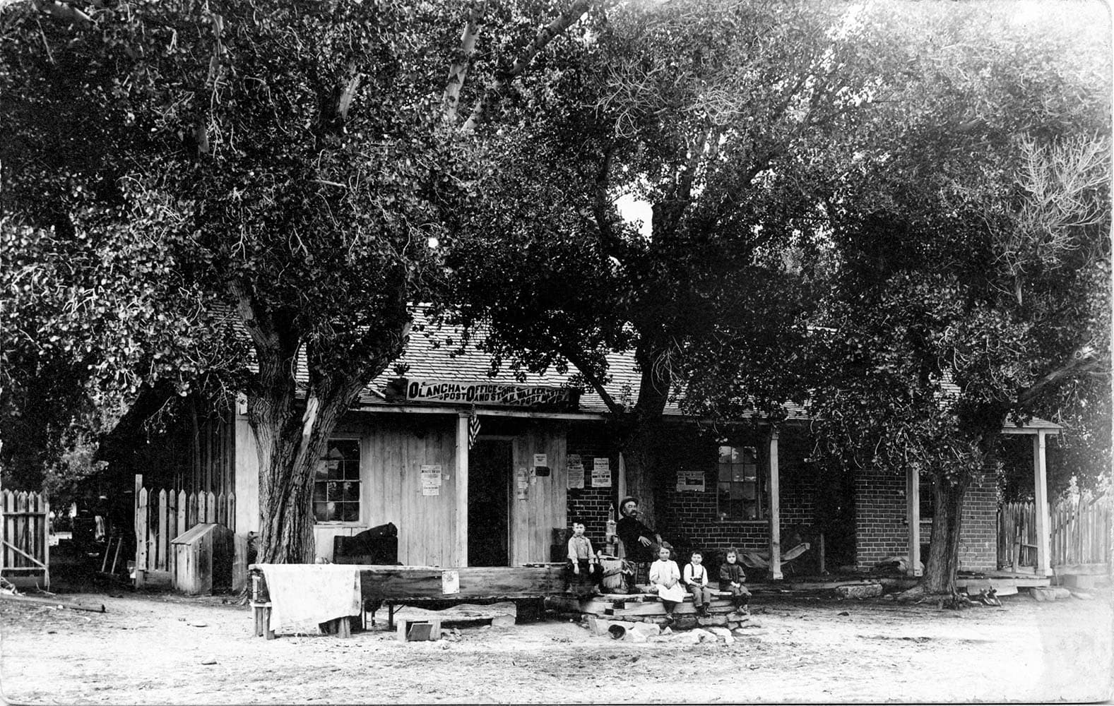
settlers and their towns
agriculture then and now
Route Map
driving Tour
10h 11mestimated
37 stops
447.1 km / 277.8 mi
Stories in this Collection
Experience This Collection
Download the History Cake app to explore this collection on location. Get automatic audio narration as you travel.